Learn about soil mapping at upcoming seminar
Tuesday, October 16, 2018
Phillip Owens, research leader, United States Department of Agriculture, Agricultural Research Service, Dale Bumpers Small Farms Research Center in Booneville, Arkansas, will be on Oklahoma State University’s Stillwater campus to share information about soil mapping.
Owens will present his seminar, Digital Soil Mapping and Applications for Digital Agriculture, Oct. 22, 3:30-4:45 p.m., in 320 Ag Hall. Students, faculty, staff, alumni and the pubic are invited to attend this free event.
“Though soil properties are inherently fuzzy, for more than a century, scientists represented soil properties as soil polygon maps with discrete boundaries,” Owens said. “However, with advanced technology, high quality digital elevation models, online soil survey data, geographic information systems and powerful geo-referencing tools, we have developed an approach for representation and prediction of soil properties based on soil functionality rather than morphological or taxonomic systems.”
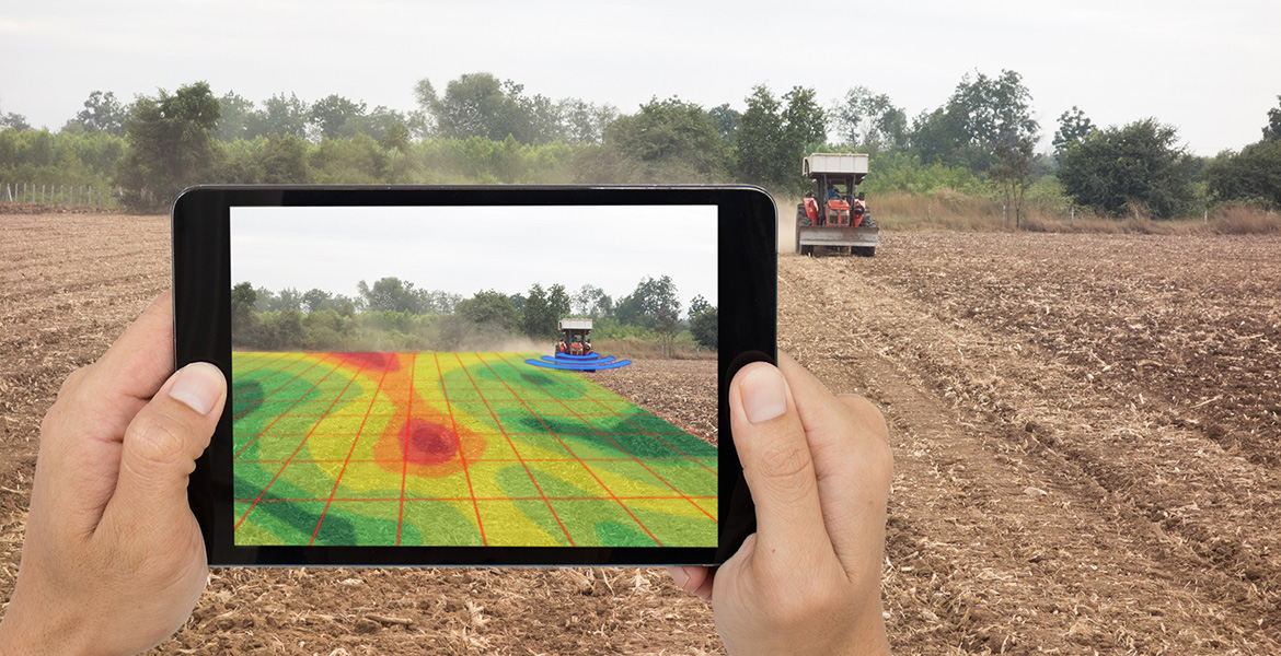
Owens’ research demonstrates digital methods to map soil properties such as plant available water, organic carbon content and texture and depth of soil, to name a few. Currently, the mapping process is being utilized to map the entire nations of El Salvador, Honduras, Nicaragua and Guatemala. The process of providing predictions of spatially heterogeneous soil properties can be used both internationally and domestically for multiple applications. Additionally, research conducted at the Dale Bumpers Small Farms Research Center will be discussed related to tractor guided auto-steer efficiencies and soil-water-forage-animal interactions using GPS tracking.
|
For more information about this seminar, contact Lynn Brandenberger, OSU Cooperative Extension horticulture food crops specialist, at 405-744-5408 or via email at lynn.brandenberger@okstate.edu or visit here. Story by Trisha Gedon
|
