OSU showcases power of geospatial technology with inaugural GIS Day
Thursday, November 20, 2025
Media Contact: Dr. Jon Comer | Department of Geography | 405-744-6250 | jon.comer@okstate.edu
Oklahoma State University hosted its first GIS Day on Oct. 28, highlighting how Geographic Information Systems technology impacts people and fuels processes around the world and across industries.
“GIS Day is an international event that celebrates the use of GIS technology — tools that help people visualize, analyze and interpret geospatial data,” said Dr. Jon Comer, head of the OSU Department of Geography. “This technology underlies many applications we use every day, such as Google Maps, and plays a vital role in research, planning, and decision-making across a wide range of fields.”
Organized by the Department of Geography and Edmon Low Library, OSU’s GIS Day featured a vendor showcase, undergraduate and graduate poster competition, career panel discussions, and a keynote address from a representative of Environmental Systems Research Institute (ESRI), the leading GIS software production company. OSU College of Arts and Sciences Dean Melinda Cro and OSU Libraries Associate Dean for Distinctive Collections Mary Larson delivered opening remarks.
“The success of this inaugural event has been very encouraging,” Comer said. “The strong participation and enthusiasm from students, faculty, vendors and visitors demonstrated the growing interest in GIS across disciplines.”
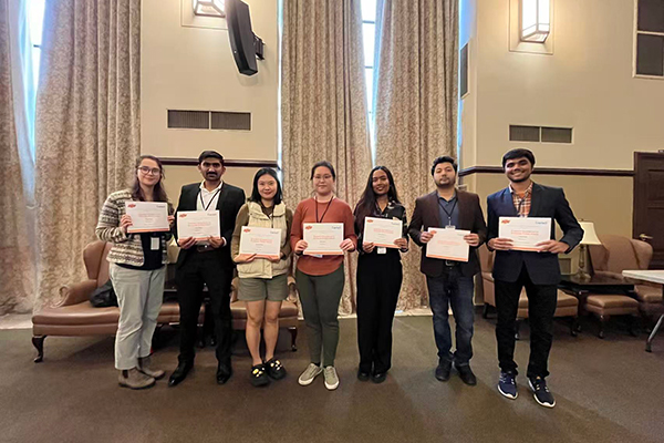
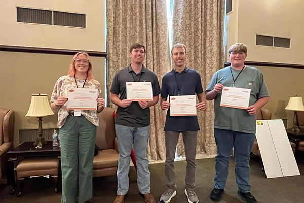
Poster presenters represented a range of OSU programs, including environmental science, biosystems and agricultural engineering, natural resource ecology and management, business, architecture, geology, and geography. Two students from East Central University also presented posters. With financial support from Enertech, the poster competition winners received gift cards valued between $50 and $200.
GIS Day vendors — which included state agencies, private companies and peer institutions — showcased how their organizations utilize GIS. In the same vein, OSU demonstrated throughout the event how GIS supports and advances OSU’s land-grant mission through research, education and community outreach.
“Building on this momentum, we plan to make GIS Day an annual, multi-college event at OSU,” Comer said. “GIS Day will continue to foster collaboration and engagement among departments and colleges across campus.”