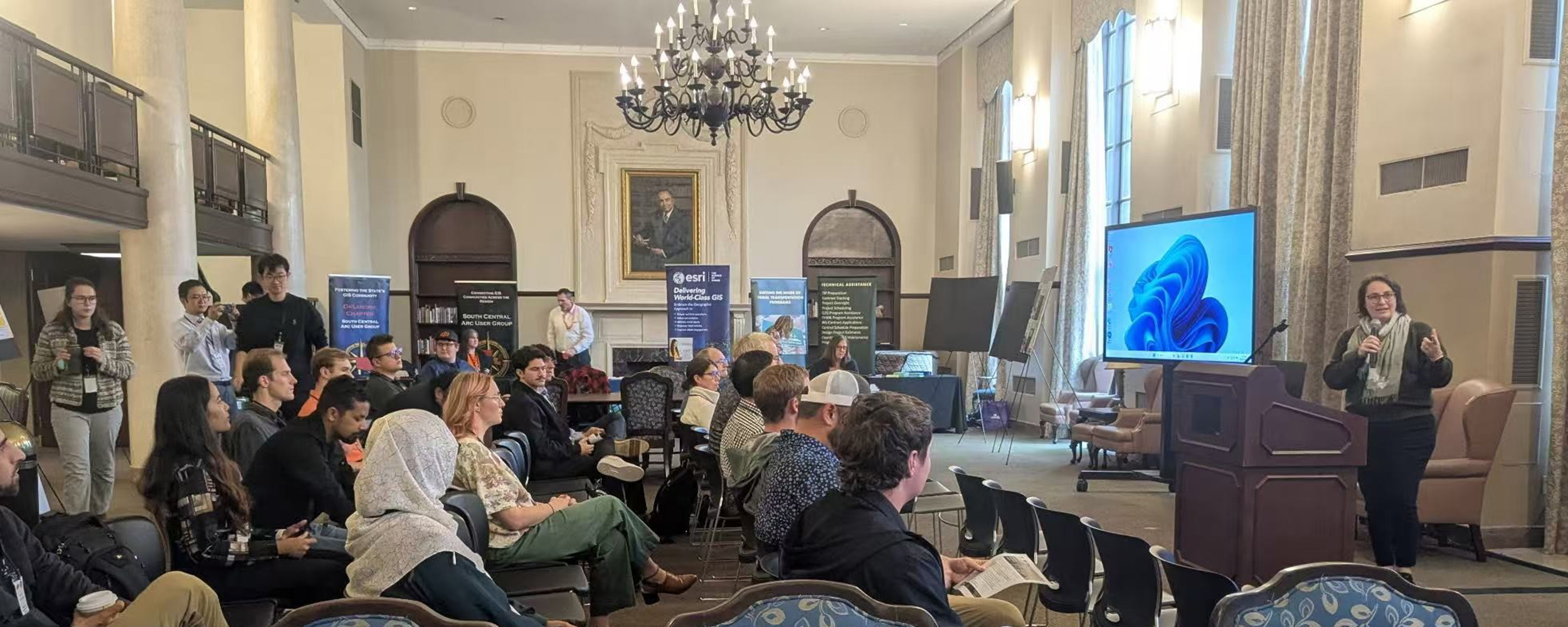
OSU showcases power of geospatial technology with inaugural GIS Day
Oklahoma State University hosted its first GIS Day on Oct. 28, highlighting how Geographic Information Systems technology impacts people and fuels processes around the world and across industries. “GIS Day is an international event that celebrates the use of GIS technology — tools that help people visualize, analyze and interpret geospatial data,” said Dr. Jon Comer, head of the OSU Department of Geography. “This technology underlies many applications we use every day, such as Google Maps, and plays a vital role in research, planning, and decision-making across a wide range of fields.”

